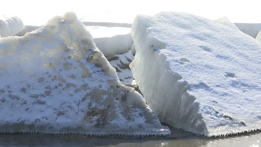
Bismarck, ND — After a brief warm-up that reversed earlier ice formation, the Missouri River near Bismarck and Mandan is expected to start icing once again, according to the National Weather Service (NWS) office in Bismarck.
In a recent ice report, the NWS explained that while the river came close to freezing just before Christmas, milder weather caused the ice to break up in some areas. However, as temperatures drop once more, conditions are right for the river to ice in quickly. The weather service notes that there is now much less space for ice to accumulate below the University of Mary, meaning that once icing begins, it will likely happen rapidly.
Historically, the formation of ice on the Missouri River leads to a rise in water levels of up to six feet during the winter months. The current river gauge reading for Bismarck is about 4.7 feet. If the river becomes fully iced over, the gauge is expected to rise to between 9.6 and 11.6 feet. The NWS points out that the Minor Flood Stage, which is defined as a stage of 14.5 feet, is still several feet away.
Once ice begins to form, the river can rise quickly, often reaching its winter maximum in less than 24 hours. The NWS urges residents to be aware of the potential for rapid changes in water levels, especially since the first ice to form is typically unstable, consisting of small, brittle ice pans that can break apart unexpectedly.
In addition to warnings about unstable ice, the NWS is advising people to stay away from the river as ice begins to accumulate. The agency also requests that anyone observing high water levels or signs of flooding report them to local emergency management authorities.
With the possibility of quick changes in the river’s conditions, residents are urged to monitor weather updates and exercise caution around the Missouri River as the winter ice season progresses.


